Dear readers, yesterday I posted a piece about Ibaraki Prefecture. so today I’m reposting an old story about my trip to Kasumigaura. At the time, I only had a few subscribers, so I guess most of you haven’t read it yet. It’s a long article in two parts with lots of pictures, and I hope you will enjoy it.
Every year, the Brand Research Institute asks thousands of Japanese to rate the attractiveness of the country’s 47 prefectures. According to the 2021 Regional Brand Survey, Ibaraki finished dead last, as usual (for the record, the top-three prefectures are Hokkaido, Kyoto and Okinawa). Granted, Ibaraki may not be as flashy and exciting as other places. However, it is well worth a visit, especially if you are based in Tokyo.
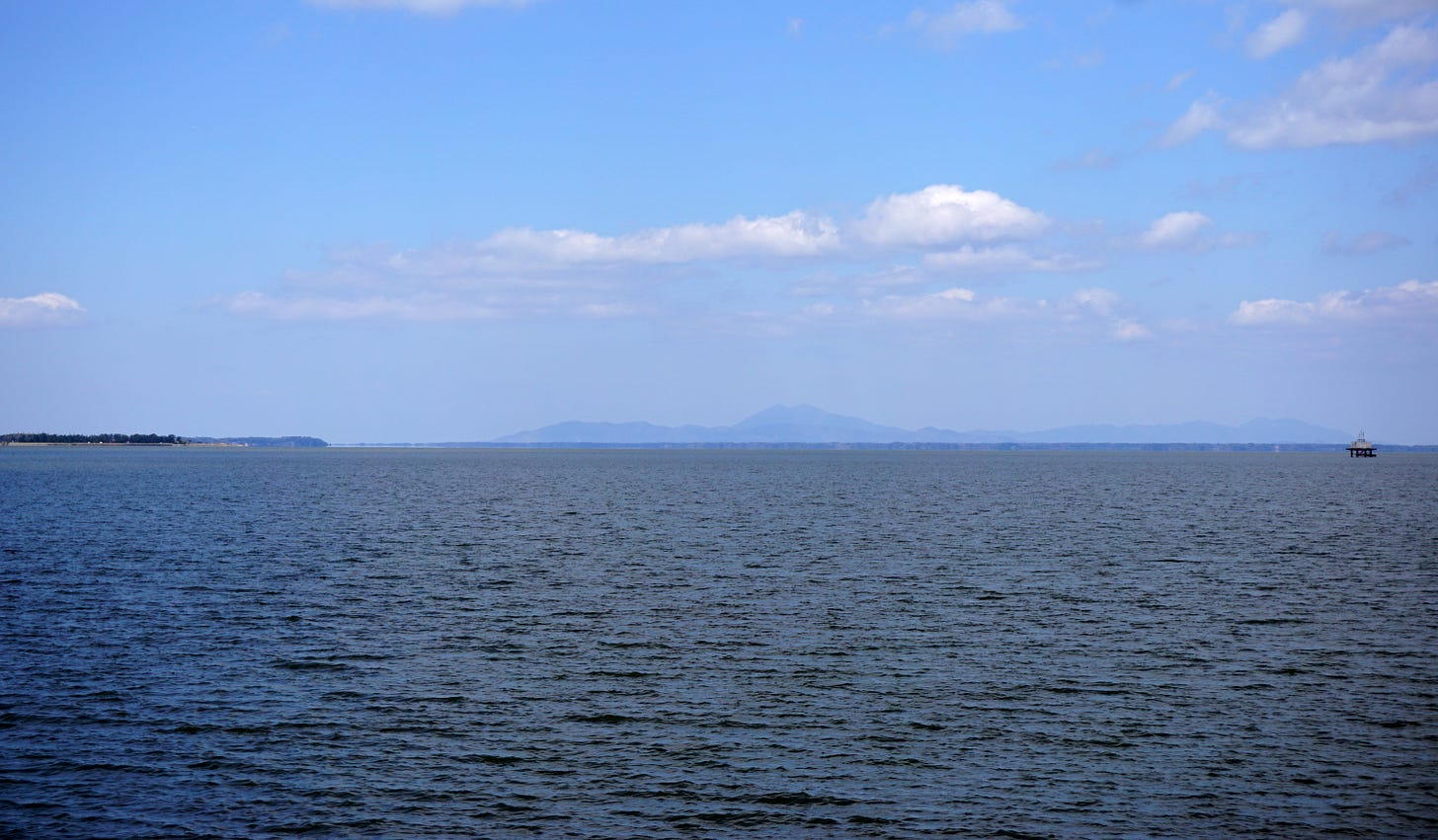
One of Ibaraki’s must-see places is Lake Kasumigaura, Japan’s second-largest lake. The region surrounding it is rich in nature and history and is particularly attractive if you are into cycling, fishing or birdwatching. It also has an extremely fascinating geological history.
The Kanto Plain which comprises Tokyo and its surrounding prefectures was once located at the bottom of a shallow sea and what is now called Tokyo Bay reached as far as Ibaraki. During prehistoric times, climate change was severe due to alternating glacial and interglacial periods (warm periods from one glacial period to the next). The region was often submerged, with mud and sand accumulating at its bottom. Later, several active volcanoes located not far from this area contributed to shaping the plateau around Kasumigaura. At the same time, the earth and sand carried by the region’s many rivers dammed the space between Kasumigaura and the sea, creating the lakes we can see today. However, the original lakes were closer to an inland sea and were home to many saltwater fish.
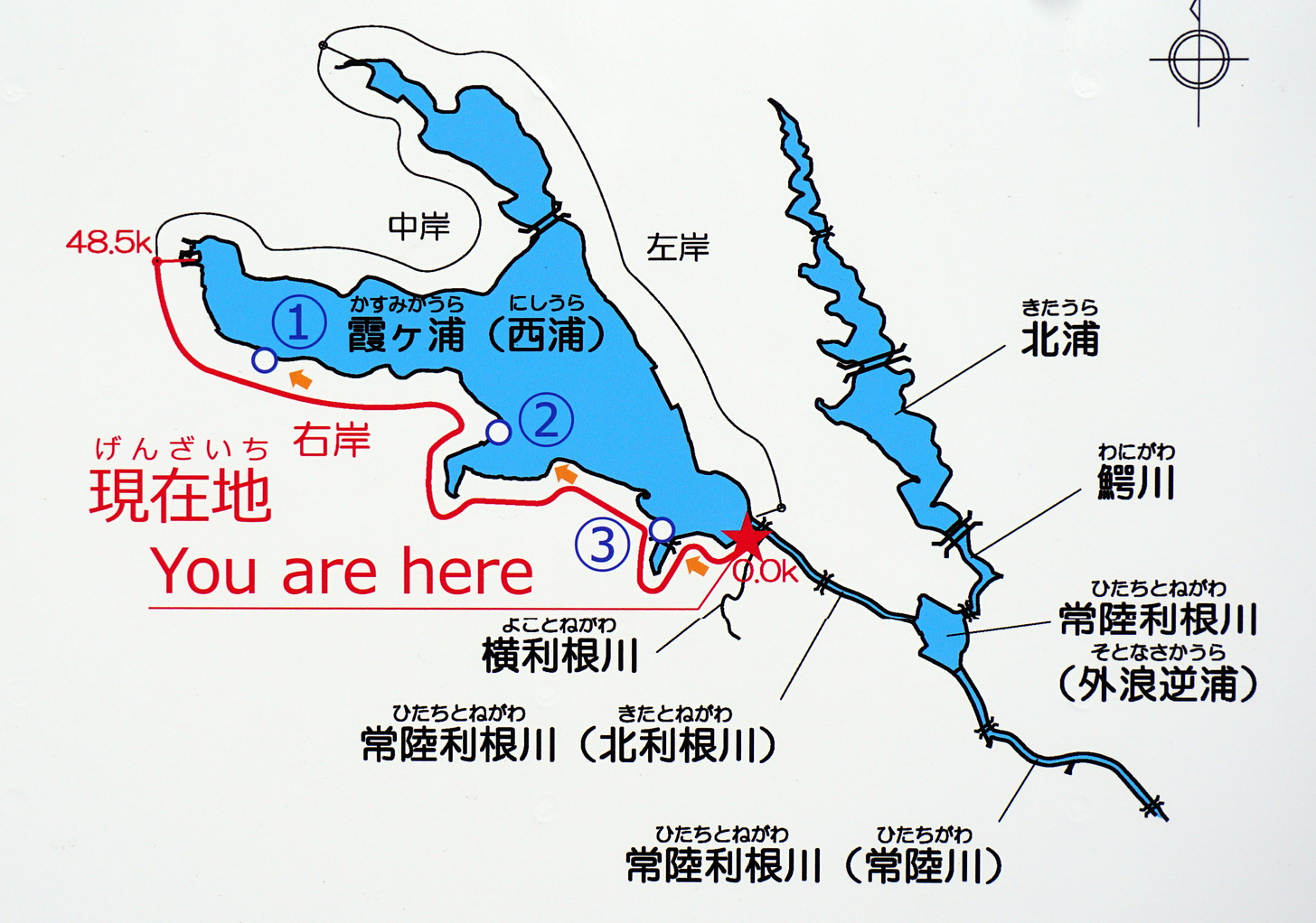
In a broad sense, Kasumigaura refers to the three lakes (Nishiura, Kitaura and Sotonasakaura) that were born from those geological changes. They are connected by several rivers and canals and have a combined area of 220 ㎢. However, in a narrow sense, Kasumigaura refers to the largest of the three lakes, Nishiura (172㎢).
The best access points to the lake are Tsuchiura on the JR Joban Line and Itako on the JR Kashima Line. I got off at the latter station
The long succession of rice fields parading outside the train window starts way before you reach Itako, but it is here that the low hills give way to infinite horizons and impossibly open skies. This is one of those rare places in the whole archipelago where one can momentarily escape the constant claustrophobia of being squished between the mountains and the sea, or being pressed on all sides by Biblical masses of people.
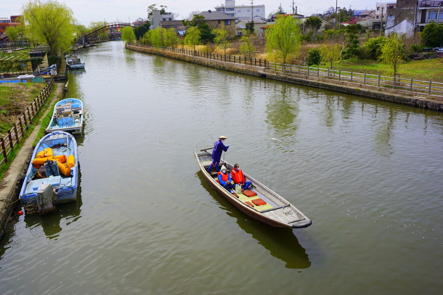
Itako is called a suigo (water town) because of its canals and the rivers and lakes which surround it. It is also very well known among enka fans as it is the subject of several traditional pop songs. Check out “Itako’s Bride.”
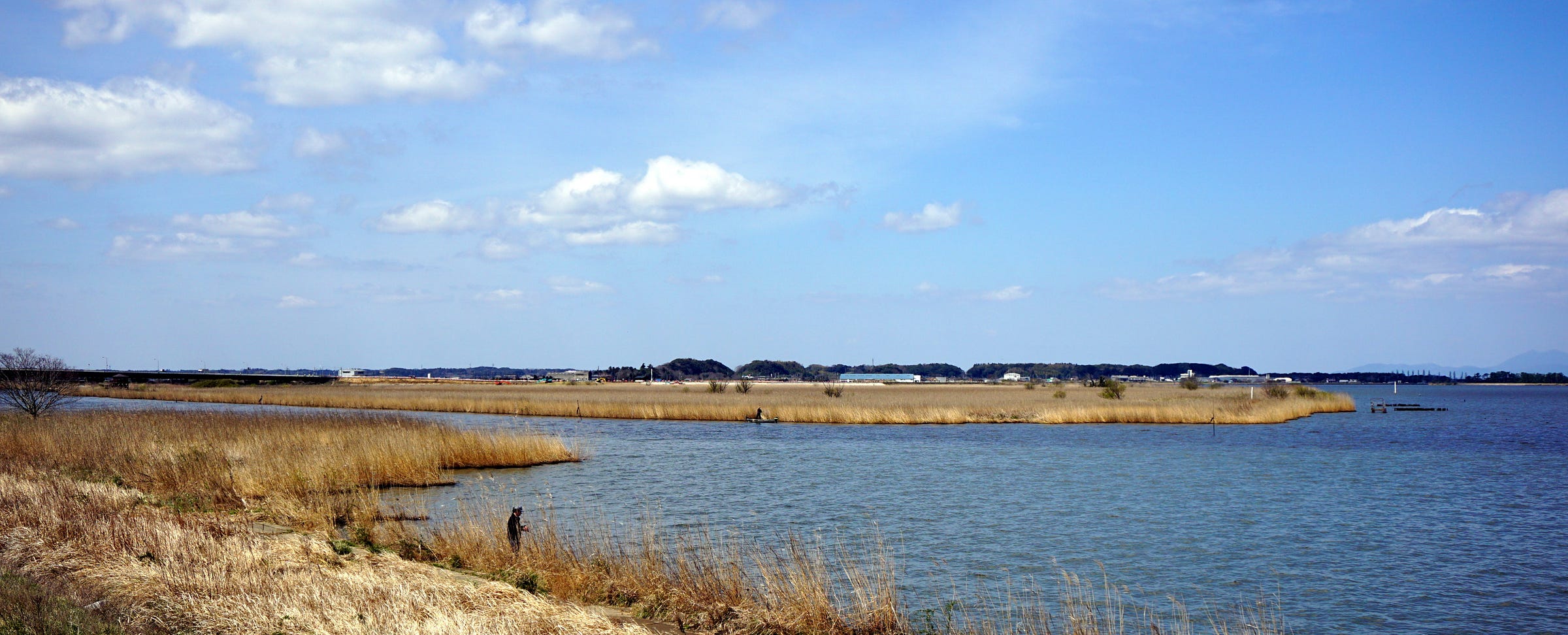
Next we hop on a rented bicycle and head westward following the wide and peaceful Hitachitone River. On any weekend, people can be seen fishing, rowing and even practicing their waterskiing skills.
Along the way, we cross one of the region’s many flood gates. Japanese rivers are notoriously prone to overflow and cause disastrous floods during the rainy and typhoon seasons, and Kasumigaura is no exception.
in June 1938, for instance, the largest flood in the region’s modern history occurred, submerging vast areas for more than one month. It was followed by another big flood in 1941. This time, it took two months for the water to drain completely. The floods were caused by heavy rain in the upper reaches of the Tone, the region’s main waterway and Japan’s second-longest river. As a result, a complex system of locks was devised to manage hydraulic control.

These locks have been a mixed blessing and have been opposed by both farmers and fishermen. On one side, they have contributed to the desalination of the lakes. On the other hand, though, they have made it easier for seawater to flow up the rivers, causing crop damage and destroying the habitat where brackish-water clams (asari and shijimi) used to live.
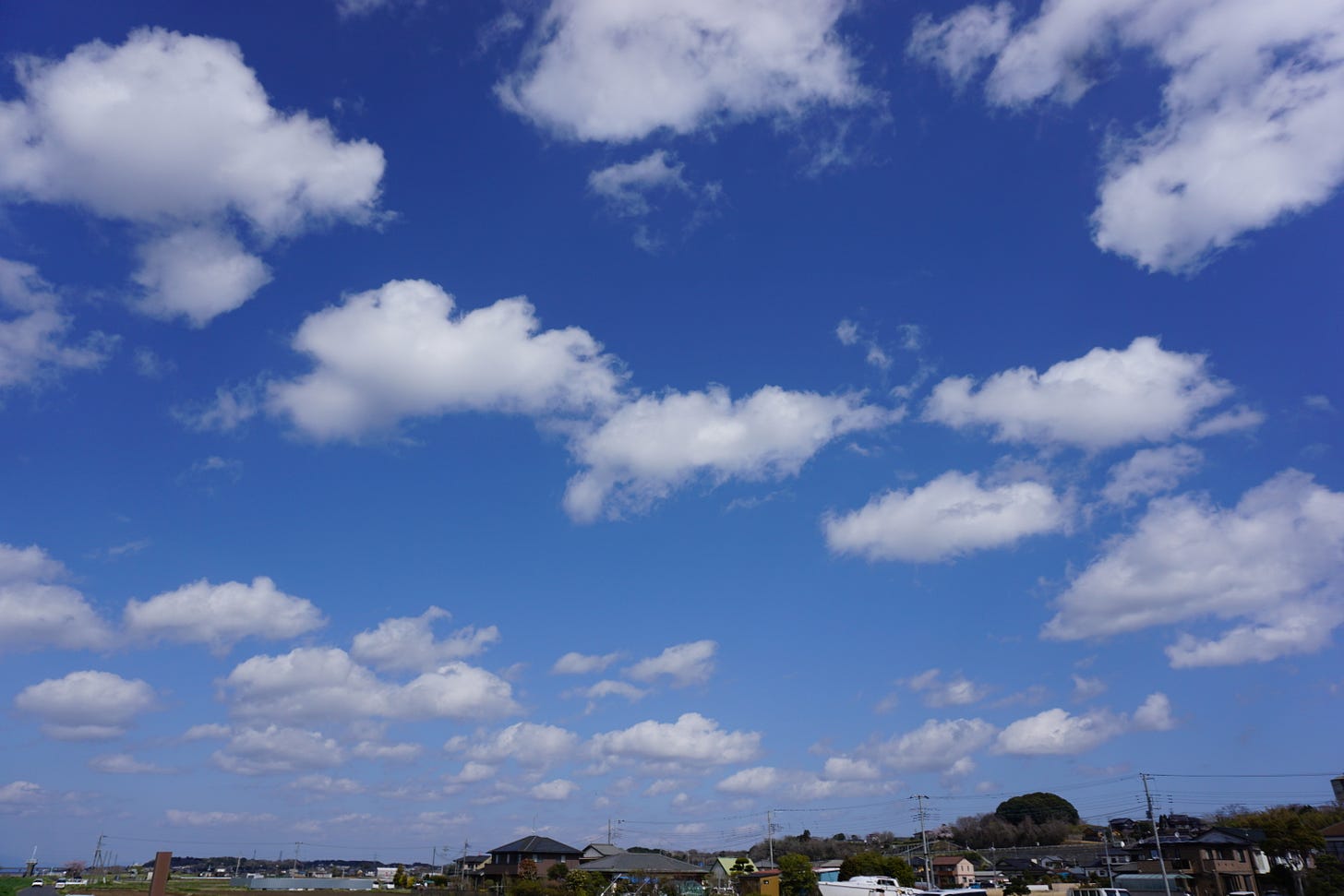
Big chunks of white fluffy clouds hover over me like the invading fleet of an alien attack. But the day is so nice and quiet that, on second thoughts, they remind me of the hundreds of islands scattered in the Inland Sea that I visited in 2019.
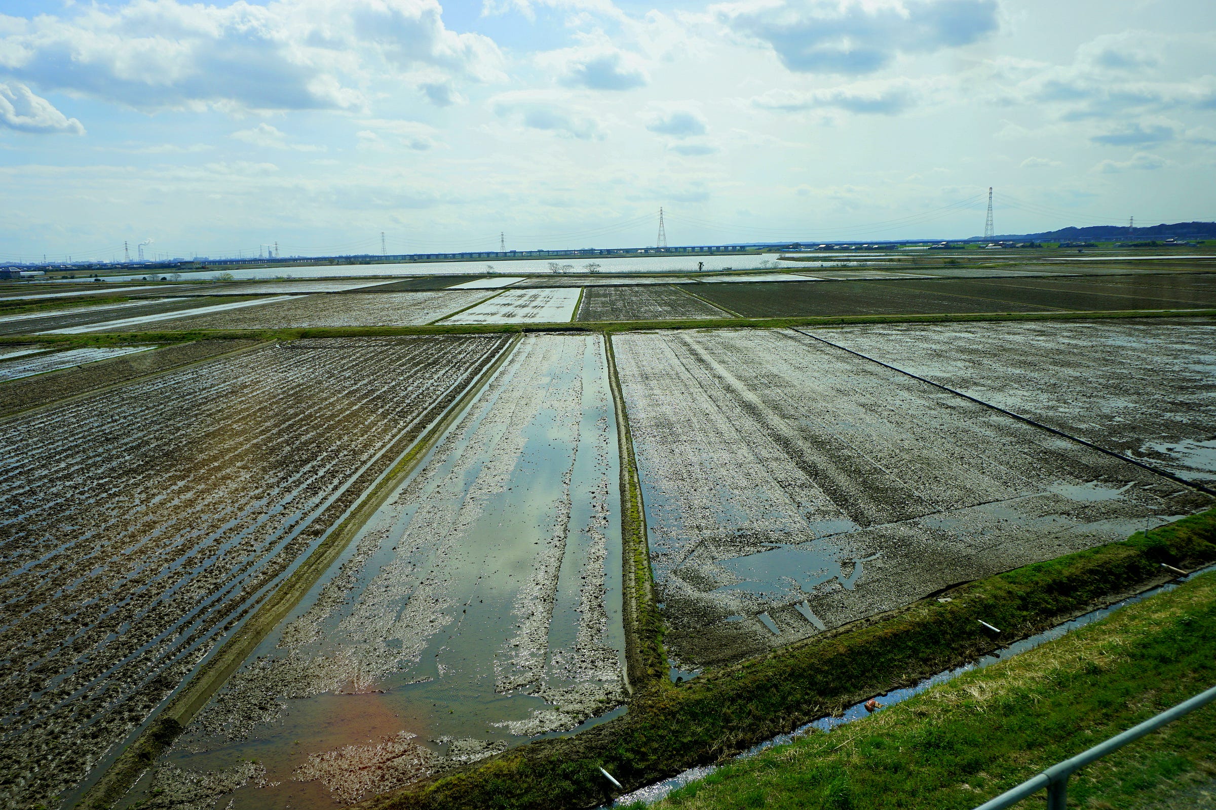
On the inner side of the cycling road, we see a long strip of rice fields. Farming is one of Ibaraki’s main economic activities, and rice paddies are everywhere. During the Edo period, the Tokugawa shogunate began a massive project aimed at recovering and developing the flooded lands while diverting the Tone River – which originally discharged into Tokyo Bay – to flow eastward into the Pacific Ocean. The project also entailed the construction of an irrigation system that led to the development of rice farming.
Rice culture is so pervasive in Japan that in a sense it is taken almost for granted. Rice fields, for instance, are an archetypal and ubiquitous Japanese landscape that provides a background to lots of stories, and countless novels and films are peppered with scenes of rice being planted, harvested, sold, cooked or eaten.
One such example is The Rice People (this is a link to the film. I hope it works), a film by Imai Tadashi whose protagonists are rice farmers who struggle to eke out a living in a harsh world. The film was released in 1957, an important year in Japanese history because the country was finally leaving behind the difficult postwar years. Nuclear power was embraced as the best way to achieve energy self-sufficiency, and in 1958 the government approved the plan to build the Shinkansen. Then, one year later, Tokyo was chosen as the host city for the 1964 Summer Olympics. Yet, electricity was only available at night in rural areas. In the big cities, cars, running water, gas and telephones may have been a common thing, but for many families living in Ibaraki’s deep countryside, where the story takes place, they were still a dream.
Imai’s story portrays the life of poor people who try to keep their heads above water and hold on to what little they have while trying to pay off their debts. A female farmer, for example, is her family’s breadwinner because her husband is sick and too weak to work. She tries to earn enough to make it through the year by working a small rice field while catching eels with the help of her daughter who has just turned 18. However, her landlord (himself far from being rich) wants his tiny field back to give to his son, so the young boy can start his own family. Then two young men try to make a living as fishermen. They rent a trawler from a boat owner and in order to stay even, they end up breaking the law by catching above their allotted limit.
The natural surroundings (Tsuchiura, Mount Tsukuba and Lake Kasumigaura) are beautifully photographed but the characters hardly have any time to enjoy them. They are too busy trying to survive.
The film opens with the annual rice planting festival and goes on to show the farmers’ daily lives – manual rice planting, drawing water into the rice fields with a foot-operated water wheel, weeding under the scorching sun, drinking parties. There are young people everywhere, but soon, many of them will be forced to leave the countryside to find manual jobs in Tokyo and other major cities.
As we come closer to the lake, we pass through Ushibori. This district is also featured in Katsushika Hokusai’s famous Thirty-six Views of Mt. Fuji series of ukiyo-e prints. In the morning mist, a large fishing boat floats above the reed-filled water. The sailors, who have slept on board, have just woken up and one of them is preparing to cook rice. He leans overboard and throws away the polishing water, scaring in the process two egrets that fly away to a quieter place.
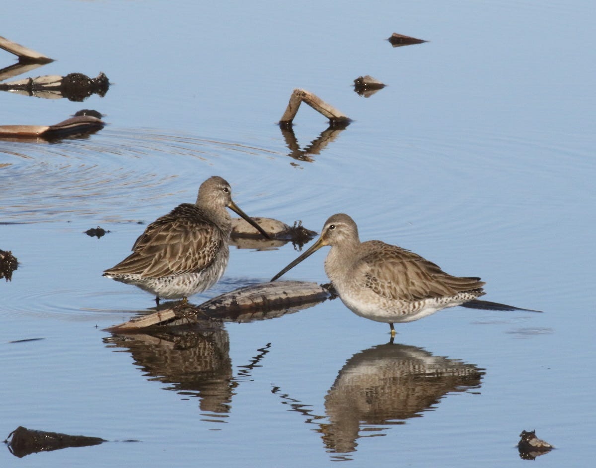
Hokusai’s picture showcases two of the area’s main attractions: fish and birds. As we have seen, the process of sedimentation by the many rivers in the area turned Kasumigaura into a freshwater lake, introducing completely new species of fish such as wakasagi (Japanese smelt), shirauo (salangidae), carp, eel and shrimp.
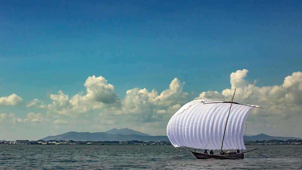
The lake’s signature fishing boat is a sailing trawler called hobikisen. Invented in 1880 by a local named Orimoto Ryohei, these boats were particularly suited to the calm but extensive waters of Kasumigaura and revolutionized local fishery since they could be operated by just two or three people while the old fishing method required the concerted work of 20 working in teams. Hobikisen were so effective that it was possible to haul in about 200 kg of fish from a single run in a single boat. Hobikisen were used in commercial fishing until the late 1960s, when they were replaced by motorboats dragging nets through the water. Today, these beautiful sailing boats are only sporadically operated for sightseeing.
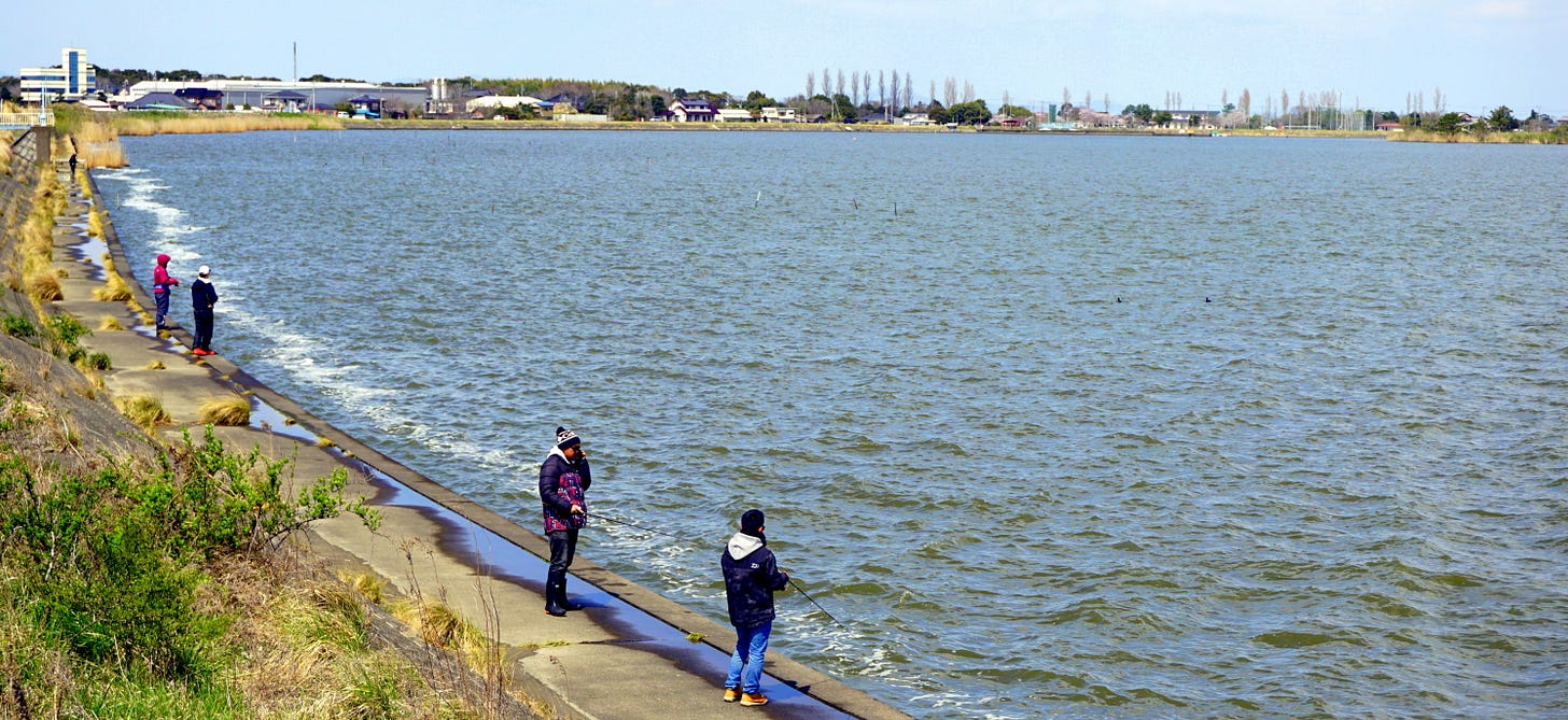
The introduction of motorboats has also contributed to the demise of commercial fishing in Kasumigaura. Though this more efficient system temporarily increased the catch of smelt and other fish, it eventually led to the depletion of the resources. Particularly since the 1980s, catches have declined rapidly. In the latter half of the ‘90s, for instance, the total catch had decreased to about 1/5 of the ‘70s. Other reasons for this radical depletion are the reduced amount of plankton (caused by changes in water quality) and the gradual loss of natural lakeside vegetation due to the development of embankments. However, though industrial fishing has been on the decline, hobby fishermen can still enjoy a good outing by boat or along the lakeshores.
(To be continued)
I hope you enjoyed the outing so far. Here you can read part 2.






Very interesting, thank you!
Gianni, your posts like this one are so thorough and well researched.